I’d like to share my go-to tool for organizing my adventures. My Maps is my absolute favorite.
It’s basically an extension of Google Maps. Similar to the regular maps, it lets us save planned locations, but offers a lot more customization options.
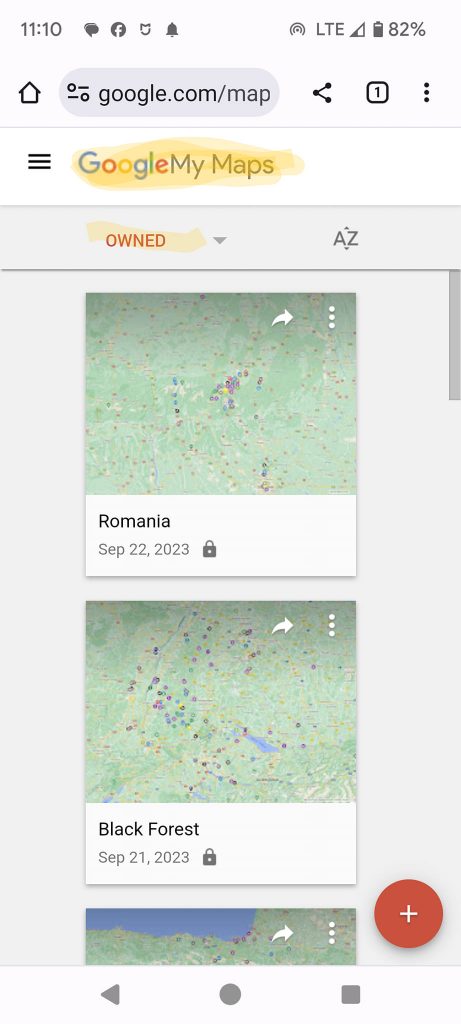
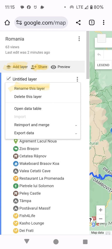
Each map for a trip, or even just an area, is saved separately. It can be named, edited, and added to at any time, and shared with anyone you wish. If someone shares a map with you, you can view it or edit it if the author allows, or you can copy it to your own maps and edit it as you please. The map owner can decide whether it will be publicly accessible, only visible to those who are sent a link, or only accessible by request.
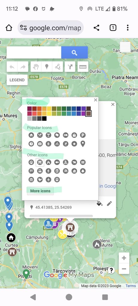
You can mark places on the map and choose a color and icon for each one or for each type of place. This is very convenient compared to Google Maps, where everything is saved with a yellow star.
Additionally, in My Maps, you can create layers of information, for example, by district or type of place. You can highlight places to visit in bad weather in a separate layer, or even divide the entire trip into layers based on planned days of visitation.
I think it’s a very useful tool. It allows me to understand what and how much I want to see, where, and to break the trip into sections and decide where and how long to stay.
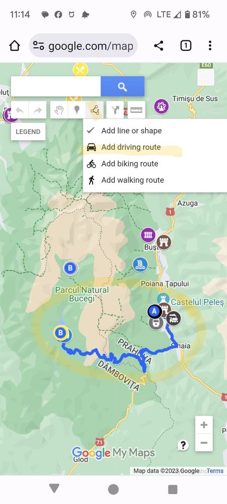
There’s also an option to connect places on the map into routes, with options for driving, walking, or biking. It’s a very useful feature.
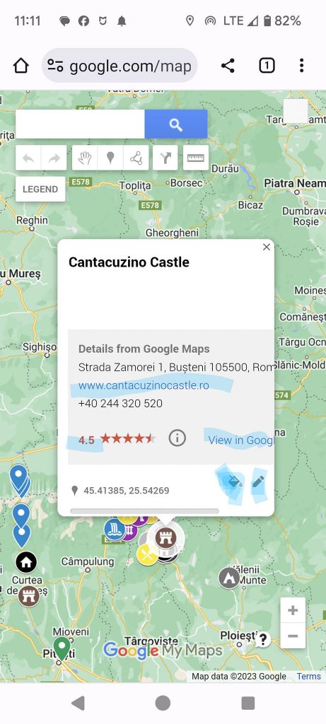
When you click on a place, the information provided is quite limited, and to get more details, you often have to go to Google Maps using the link in the description. It’s not ideal.
There aren’t enough levels of detail, it doesn’t work on iOS, and there’s not much built-in information – you have to open everything through the Google Maps link. But I don’t know of anything better.
For more reports and useful information, check out the group

